More detailed mapping
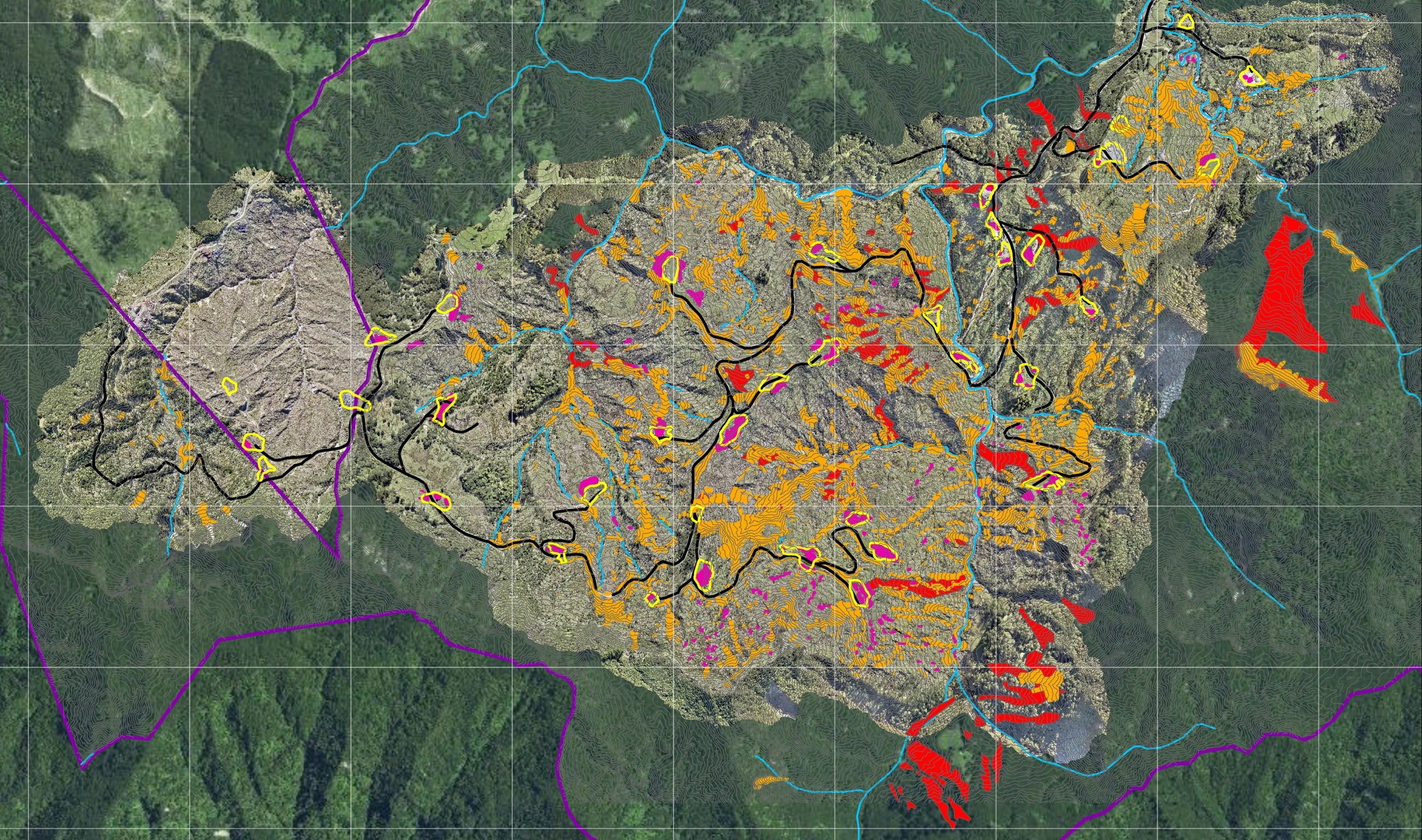
Identifies land-cover features for closer assessment.

Land-use Optimisation
Every property is different. Rātā brings land information, environmental priorities and local knowledge together to show what each part of the whenua can support, then helps landowners compare practical options and their costs, benefits and long-term value.
Start the KōreroThe Challenge
Productive land, erosion-prone slopes, waterways and areas of biodiversity or cultural value can sit within one property. Each calls for a different response.
For Te Tairāwhiti, land optimisation means understanding where productive land use can continue, where management needs to adapt and where a different pathway deserves consideration. Those decisions need to account for the wider catchment, the people connected to it and the long-term aspirations of landowners.
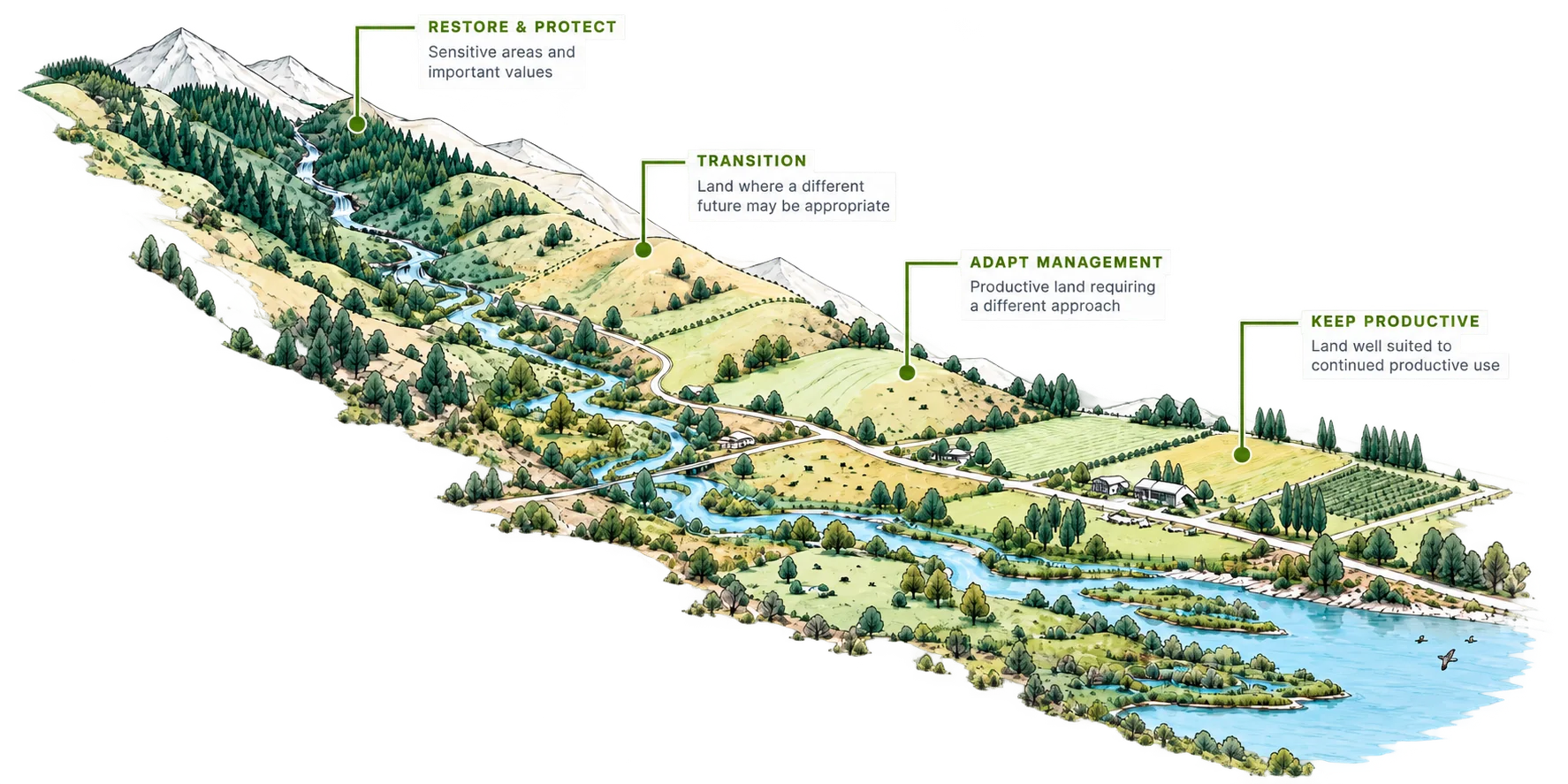
Together, these inform the future land-use pathway.
Our approach
We take a structured, evidence-led approach to understand what the land can support and where different opportunities exist.
Rātā brings together practical land-use expertise, local knowledge and integrated technical inputs to develop options that are commercially viable, environmentally responsible and aligned with landowner objectives.
Our approach is collaborative and iterative — working with landowners to assess the whenua, explore options and define a clear pathway forward.
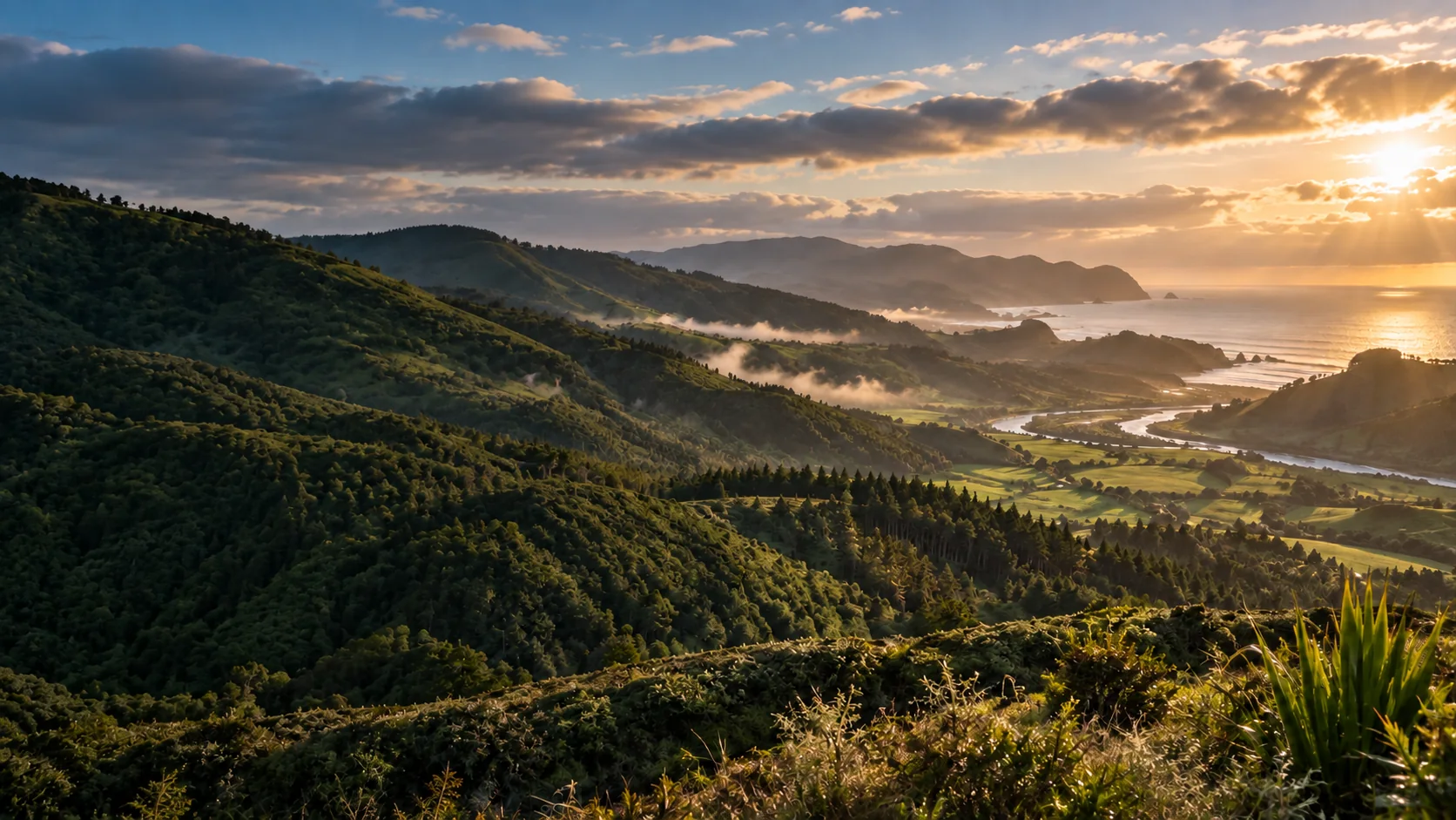
We bring together landowner objectives, site information and local knowledge to understand the opportunities and constraints across the property.
We assess how different land uses can perform across the whenua, considering environmental, cultural, regulatory and commercial factors.
We evaluate the trade-offs between different land-use scenarios, helping landowners understand the risks, opportunities and potential outcomes.
We provide clear, practical recommendations and a pathway for implementation — aligned with landowner objectives and long-term stewardship of the whenua.
The kaupapa behind our work
Our land optimisation work is guided by the kaupapa of our Catchment Resilience Management System (CRMS). It places opportunities for individual properties within the wider context of catchment risk, waterways, communities and long-term stewardship.
This helps connect assessment with practical recommendations, clear responsibilities and a pathway for further investigation, delivery and review.
Explore our CRMS framework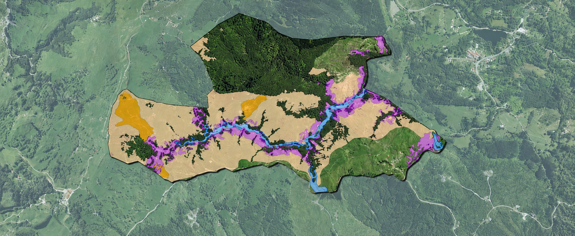
GIS & Spatial Analysis
Rātā takes a structured, evidence-led approach to understanding what the land can support and where different opportunities exist. We assess land capability, constraints and priorities, identify suitable uses, and compare their environmental, operational and commercial implications. Landowner knowledge and aspirations are then brought together with the evidence to shape the right pathway for the whenua.
Our goal isn’t simply to produce maps. It’s to turn complex information into evidence that can support a confident, long-term decision. To achieve this, Rātā invests in its GIS Team and develops tools to provide the level of quality required to make informed decisions.
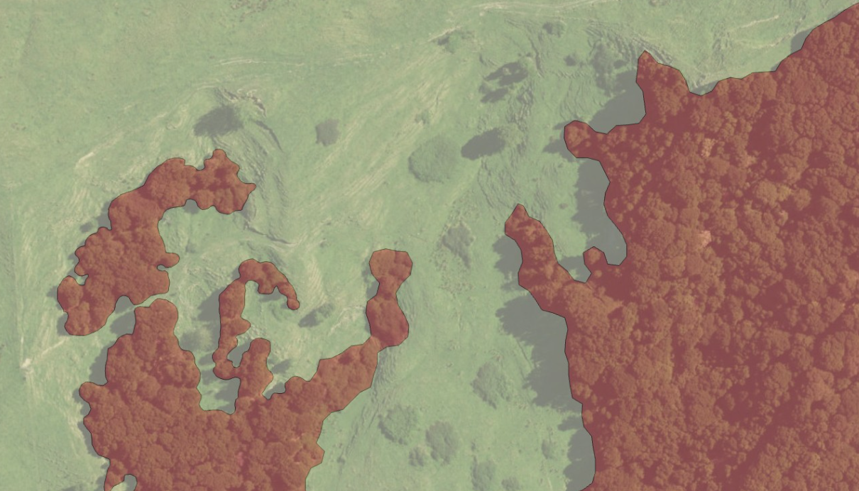
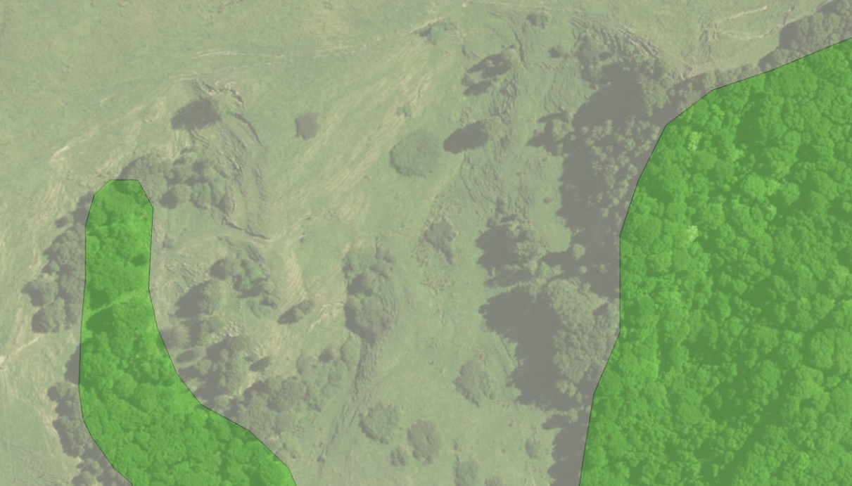
Mātai is Rātā’s spatial intelligence platform. It uses AI-assisted mapping to identify land-cover features, helping our specialists analyse whenua faster and develop recommendations informed by professional judgement and local knowledge.
LCDB stands for Land Cover Database. It is a national map of New Zealand’s land cover, classifying features such as forest, grassland, water and built-up areas and recording changes over time.
Mātai spatial intelligence
Mātai is an ecosystem of applications and workflows designed to provide detailed, quick data configurations for our specialists. Its digitising AI helps us map land-cover features faster, more consistently and more reliably, reducing repetitive work across large areas of whenua.
That gives our professionals more time to review and refine the findings, understand your priorities and create better tailored recommendations. Specialist judgement remains at the centre of the final advice.
Identifies land-cover features for closer assessment.
Reduces repetitive tasks so specialists can focus on interpretation.
Combines AI outputs with professional judgement and local experience.
Mātai applications & workflows
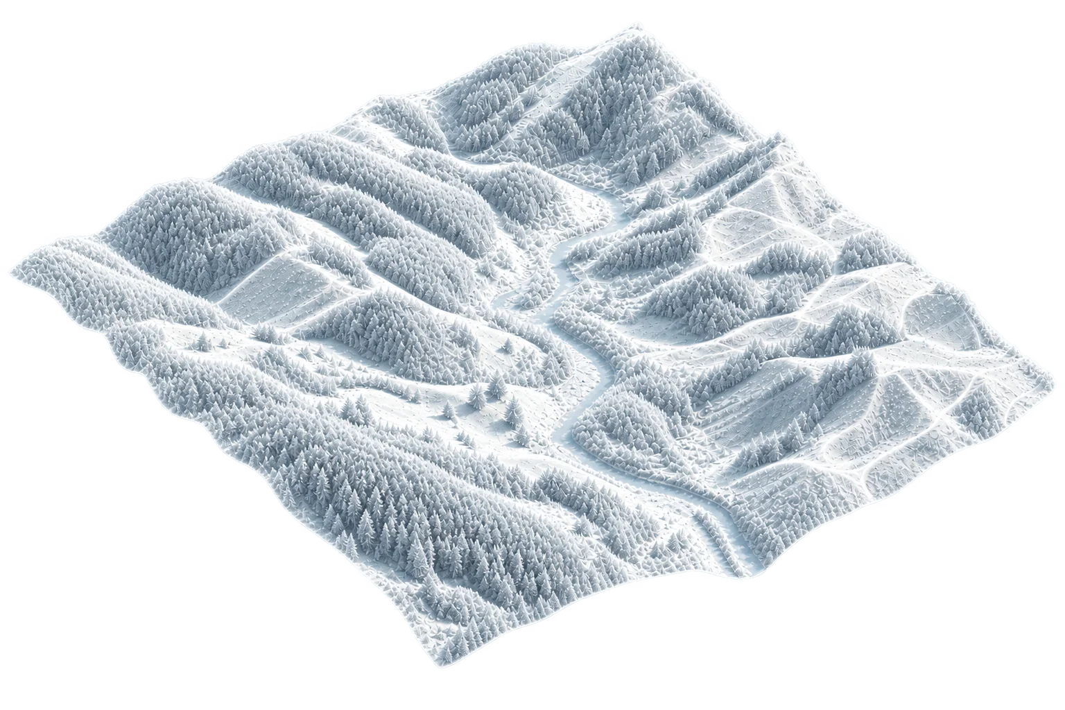
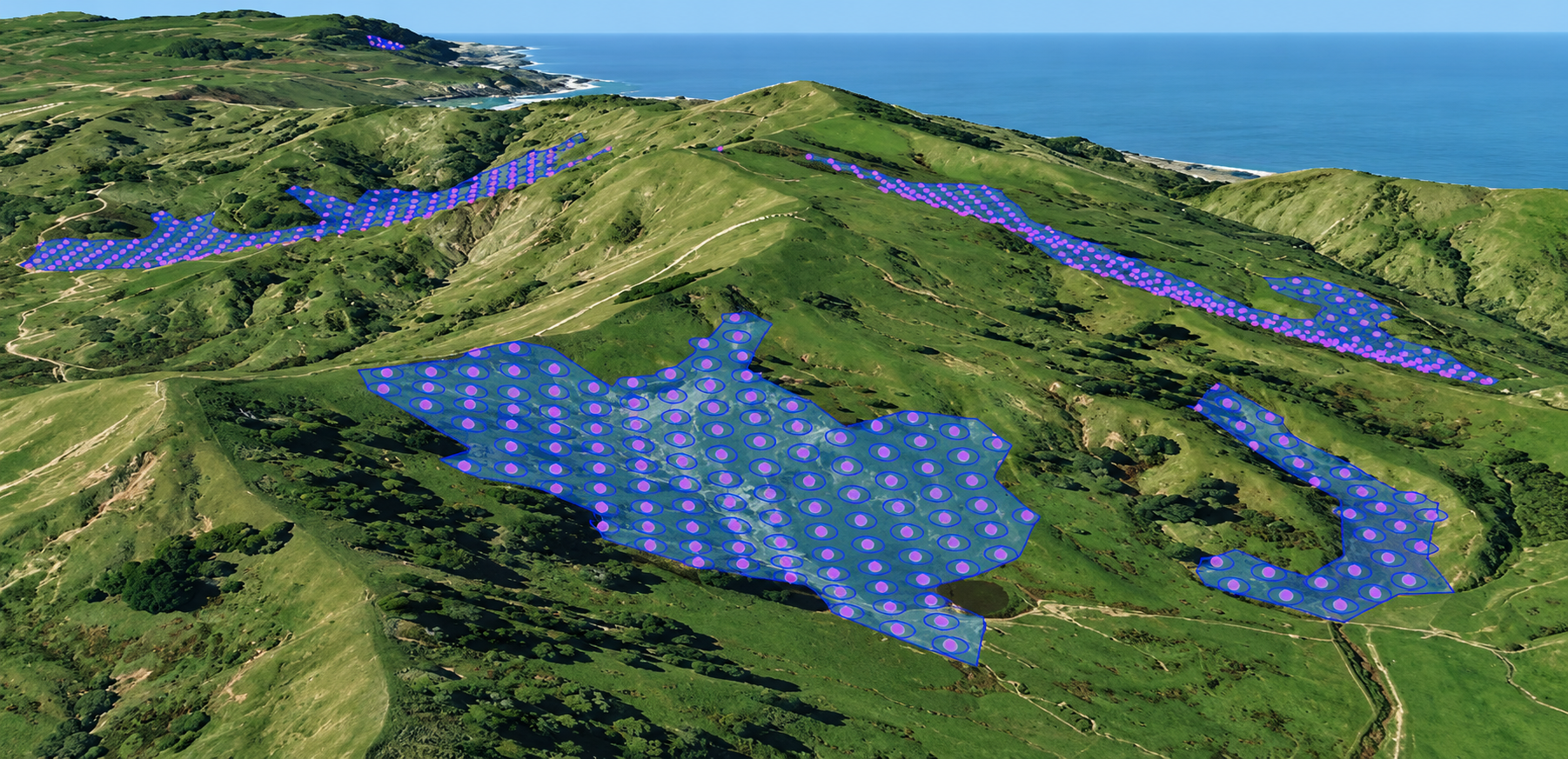
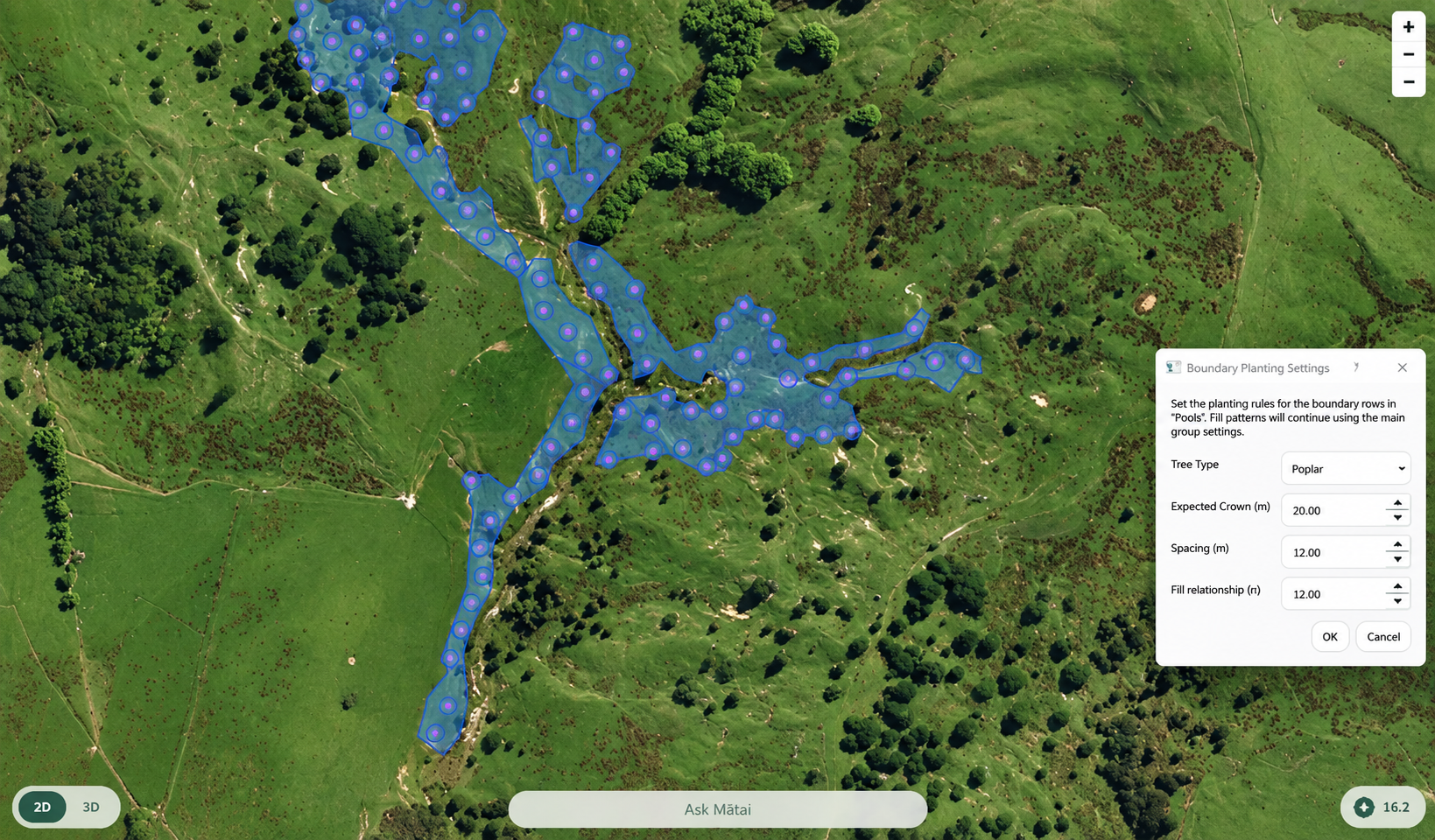
Our space planting tool helps specialists visualise and plan efficient planting layouts. Viewing a plan in 2D and 3D brings planting locations, spacing and the shape of the whenua together, helping turn detailed data into practical planting plans.
Grounded in practical experience
Rātā works alongside farming specialists and our own forestry professionals to ground-truth our spatial analysis, bringing practical experience and on-the-ground knowledge into the assessment.
This helps us validate mapped information, test assumptions and identify conditions that data alone may not reveal — ensuring our recommendations are both evidence-based and practical to implement.
Technology & Intelligence
Rātā combines field experience with spatial analysis, remote sensing and modern digital tools to improve planning, monitoring and decision-making.
Tech & Innovation Team
Land-use decisions draw on more than one discipline. Rātā combines spatial analysis, forestry, environmental and operational knowledge to make modelling useful for real-world decisions.
Meet our Team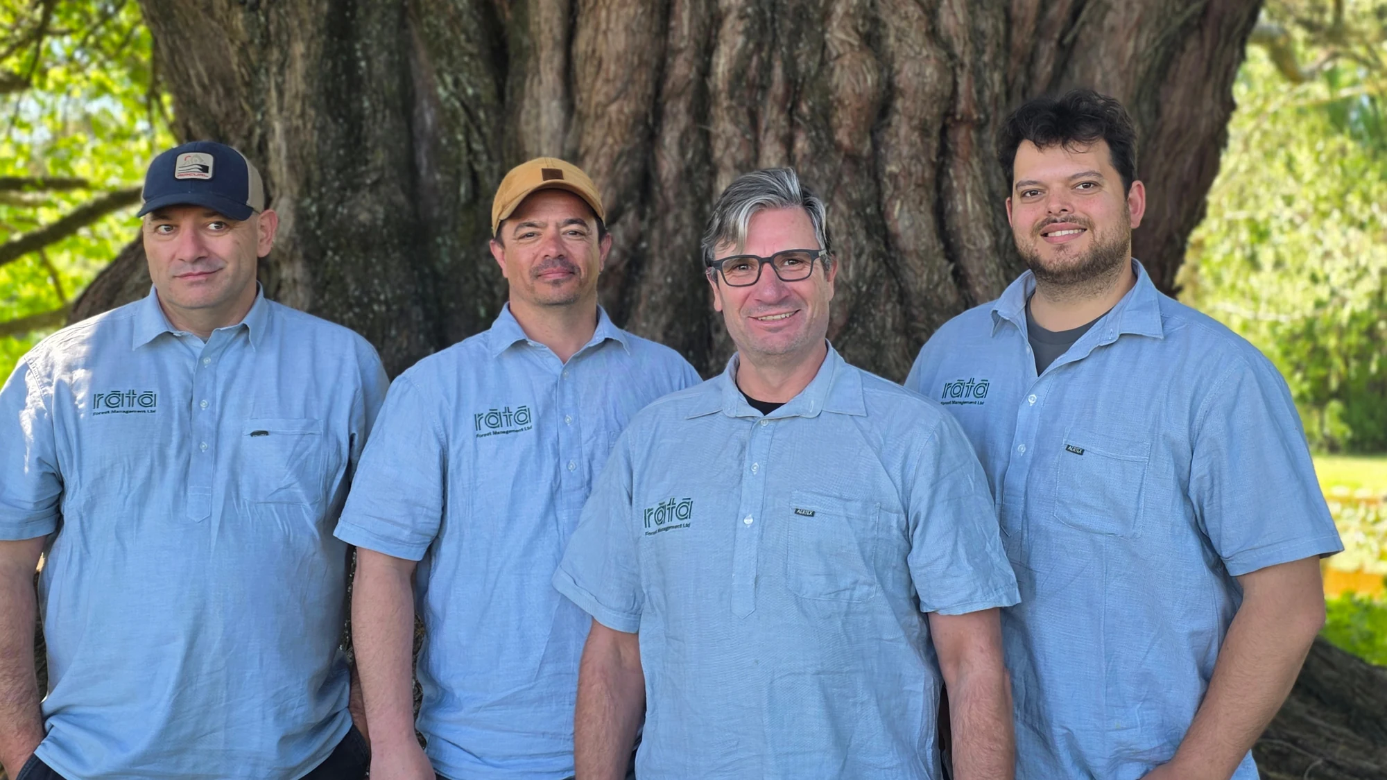
A team with
real experience.
Tech & Innovation Manager
Spatial Consultant
I.T Systems Engineer
Innovation & Marketing Specialist
Featured Projects
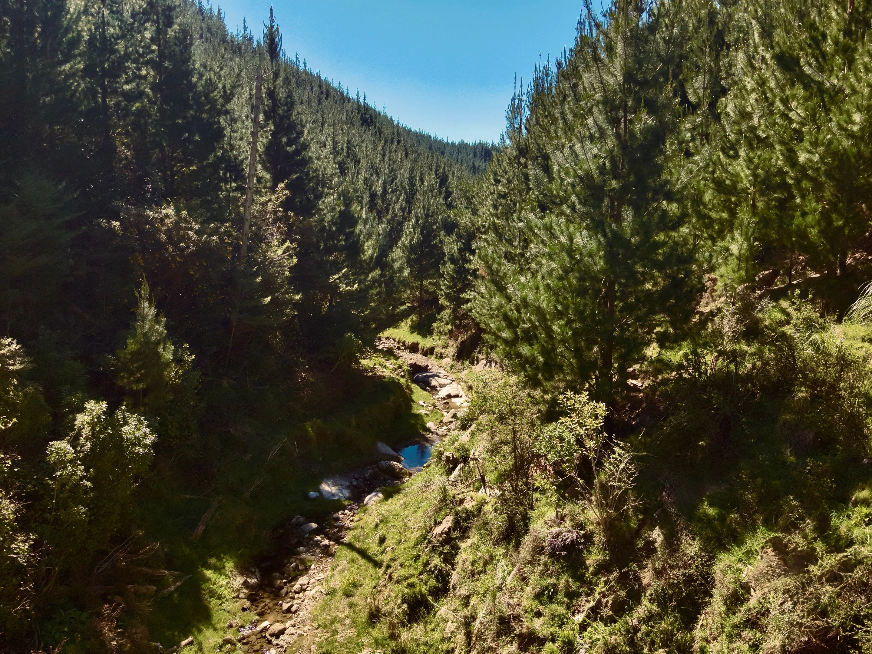
Helping Māori landowners turn identified opportunities into informed decisions and long-term value through the ETS.
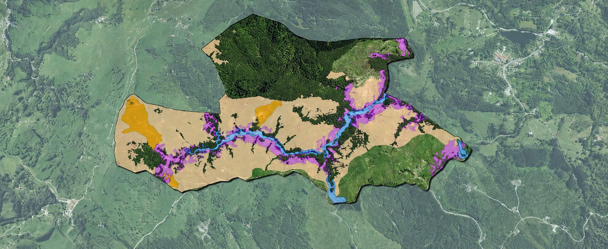
Turning land information into practical pathways for more resilient, productive and sustainable whenua across Te Tairāwhiti.
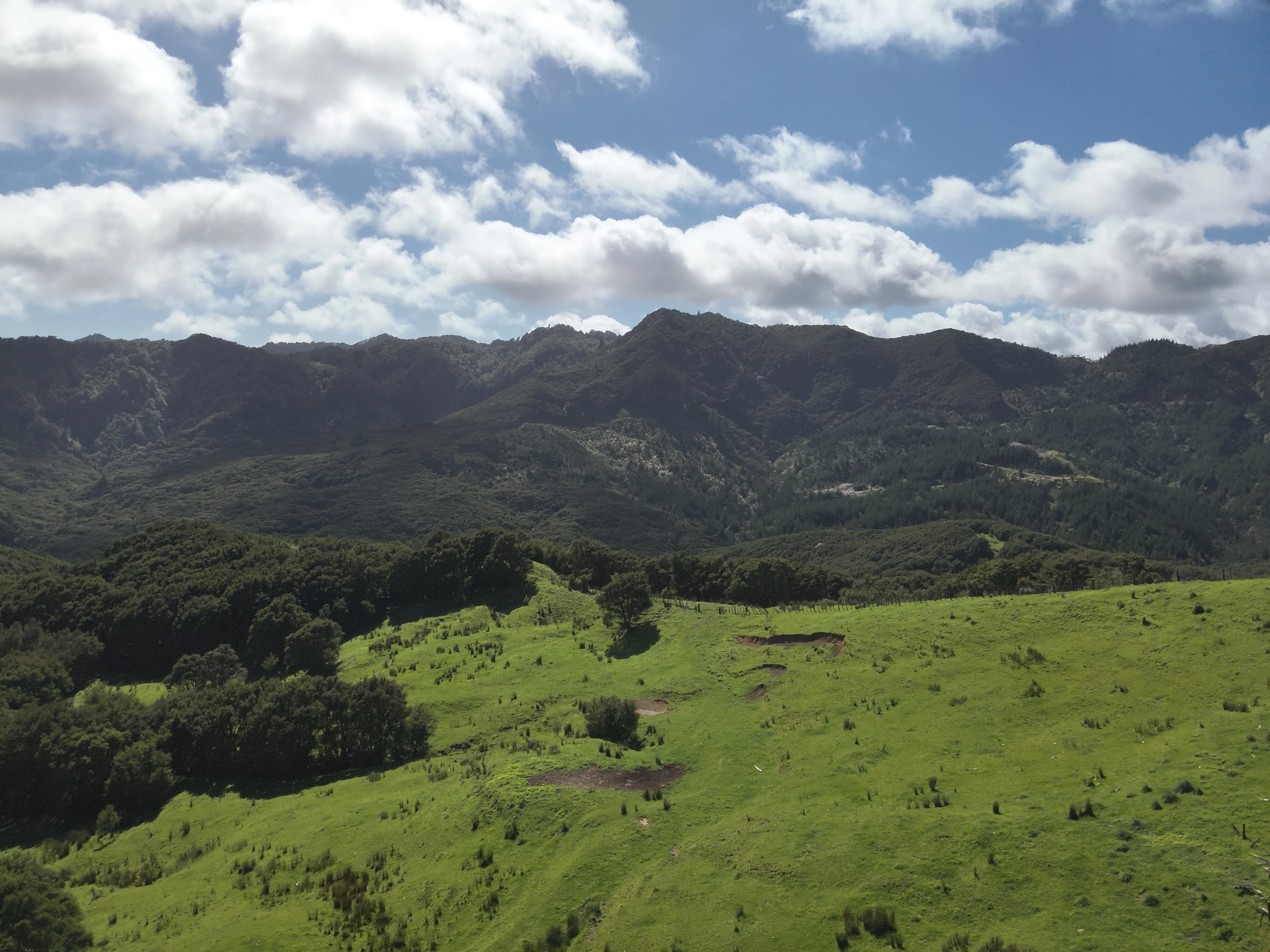
Rātā contributed forestry, GIS and land-use expertise to Whenua Tira, helping cyclone-affected Māori landowners understand recovery priorities and explore future options for their whenua.
Get in touch
Have a project in mind or want to learn more about what we do? We’d love to hear from you.
Get in touch