Clear accountability. Independent assurance.
Our Catchment Resilience Management System (CRMS) makes accountability clear—from work on the ground through to the Managing Director and Board.
Every critical activity has defined responsibilities for delivery, assurance and approval. We separate operational delivery from assurance so that important controls are independently checked.
Material risks and assurance findings are escalated through our management and governance structure, giving leaders clear oversight of significant issues and the actions needed to address them.
External specialist review is used where additional expertise or independence is required.
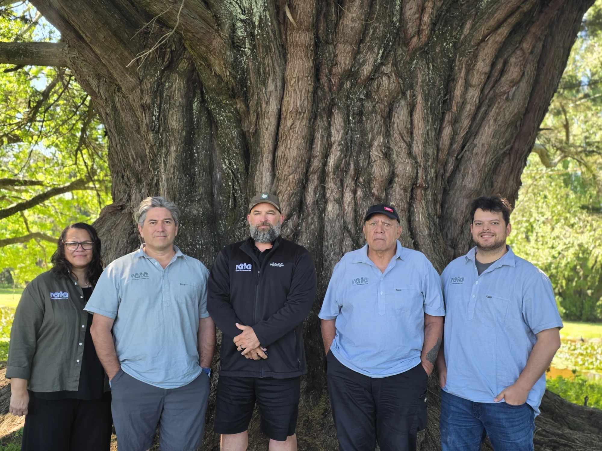
Meet our directors →
Turning plans into
practical delivery.
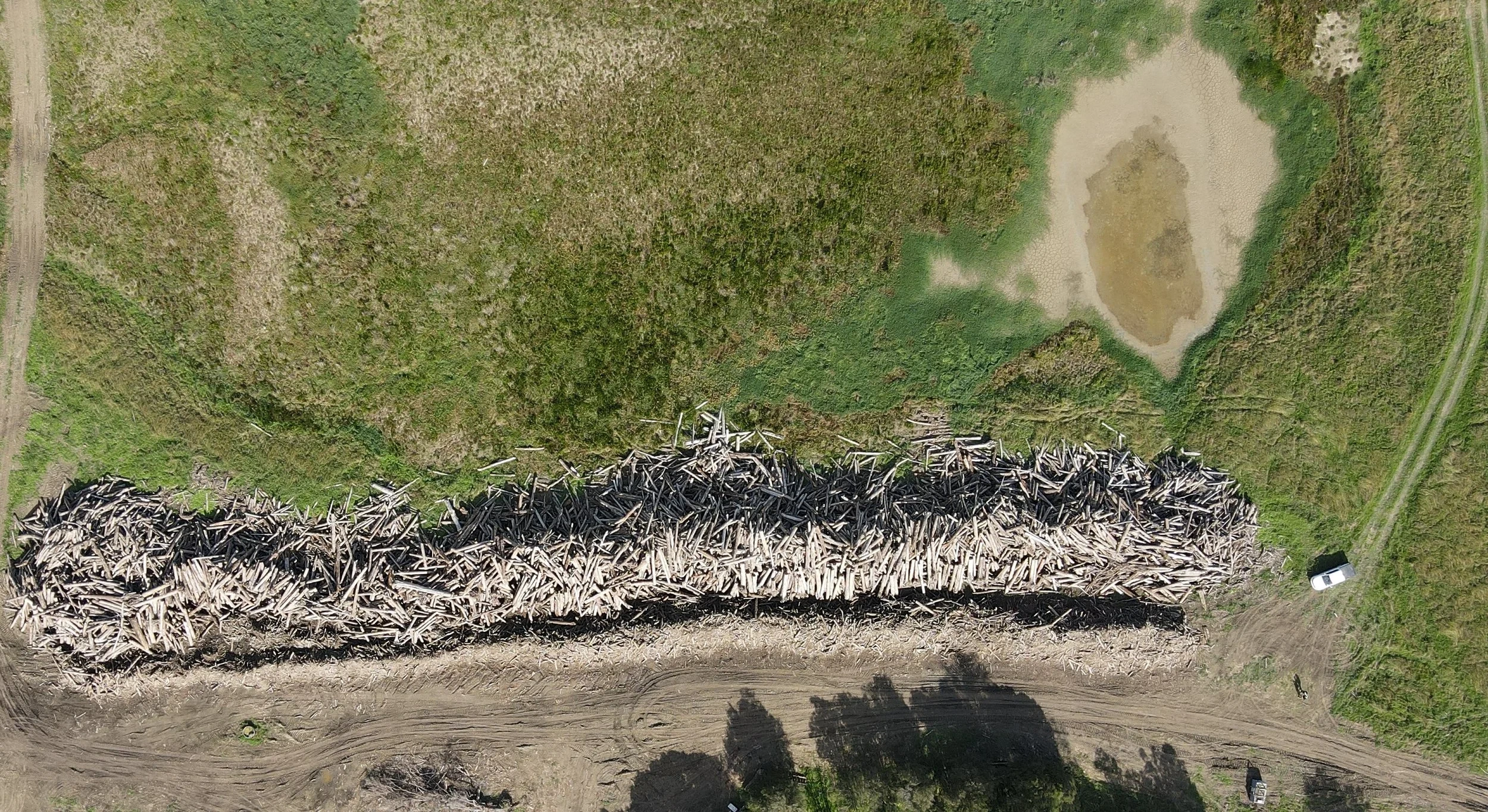
The Engineering & Operations team coordinates roads, earthworks, contractors and site delivery under approved plans and CRMS controls. For owners and investors, this connects planning decisions with the people, infrastructure and resources needed to carry out the work.
Delivery responsibilities and site controls are established before work begins. Issues requiring technical review or further approval are escalated to the responsible reviewer or decision-maker, so operational delivery stays within the agreed scope.
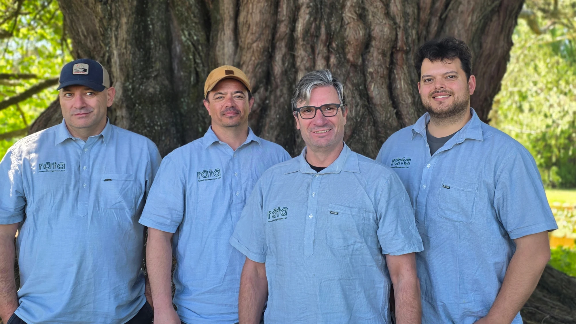
Meet our forestry team →
Assurance where
risk matters most.
The Health, Safety & Assurance team reviews critical risk, competency and safety performance. This includes checking critical controls, confirming competency for assigned work and supporting emergency readiness and incident investigation.
Safety audits and reviews identify findings, assign corrective actions and track them to completion. Review responsibilities and any independence requirements are agreed for the engagement, with external review arranged where the necessary expertise or independence cannot be provided internally.
View our team →
Turning data into
trusted spatial intelligence.
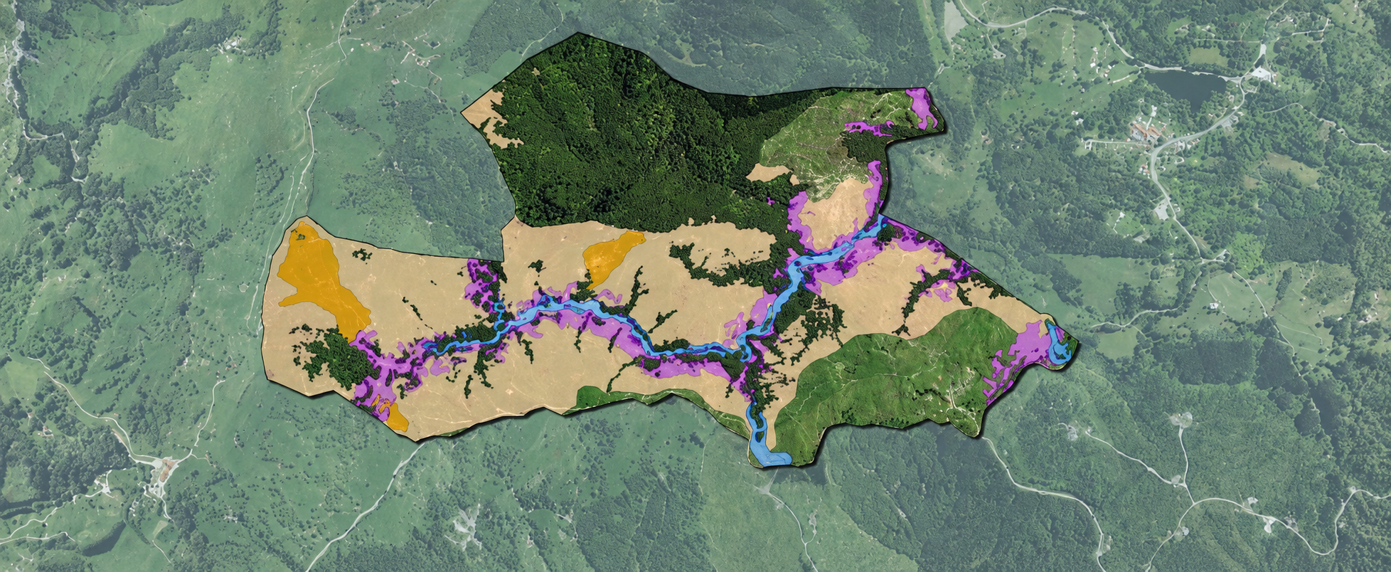
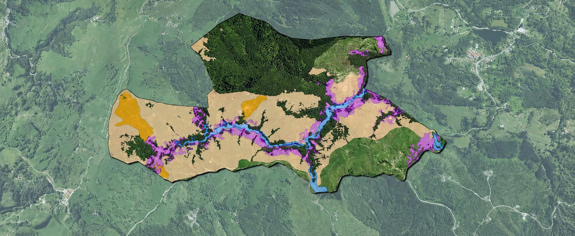
The Spatial & Digital Intelligence team brings together mapping, spatial analysis and field information to support catchment planning and monitoring. For clients, this helps show where risks and land-use opportunities occur, what information supports a recommendation and where further assessment is needed.
The team checks data quality and maintains project information to support field data capture, monitoring and reporting. Spatial outputs inform specialist judgement; they do not replace site assessment, technical review or the approvals required before work proceeds.
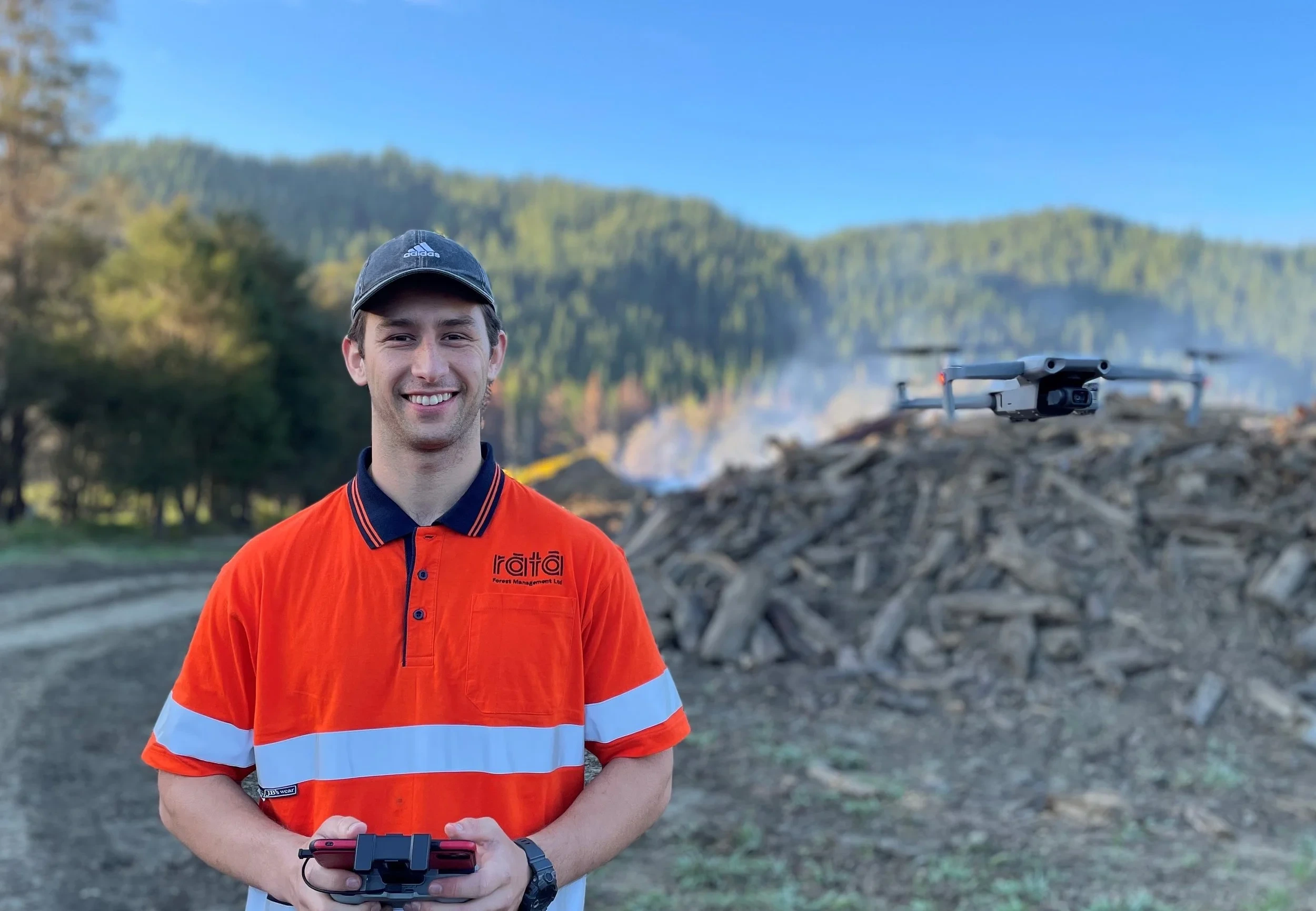
Meet our spatial and digital team →